HiDPI - On/Off
Enables High Dots Per Inch content.
Only viewable on Retina or 4K displays.
HiDPI - On/Off
Enables High Dots Per Inch content.
Only viewable on Retina or 4K displays.


Rocky Mountain House - Full City Point Cloud Model
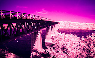
Hwy 312 / Batoche Bridge - 4K 360 Degree Imaging
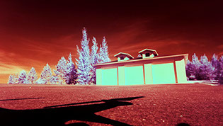
Multi-spectral Unmanned Aerial Imaging
Airfield Rapid Surveying - No Runway Closures
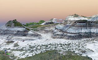
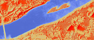
Drumheller - Topographic Maps and Detailed DSM
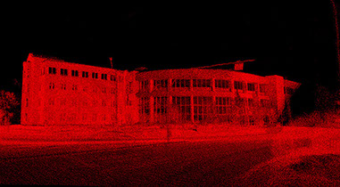
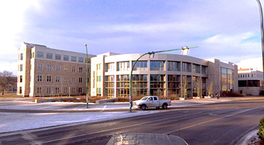
University of Saskatchewan - Colorized Point Cloud
1 - 6
<
>
http://ritechoice.ca/rc-docs-app.html
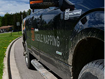
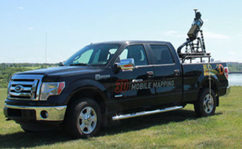
Vehicular Mobile Mapping
Navigation
Three separate systems to track and record position.
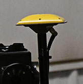
GNSS Satellite Receiver
The Global Navigation Satellite System
precisely records position and altitude.
Inertial Measurement Unit
Accelerometers are used to track motion
in every direction. Improves positional
accuracy when changing speed or direction.
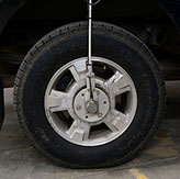
Dual Wheel Encoders
Measure exact velocity and distance
traveled. This allows the cameras to be
triggered at precise distance intervals
when speed is not constant
(driving on urban streets).
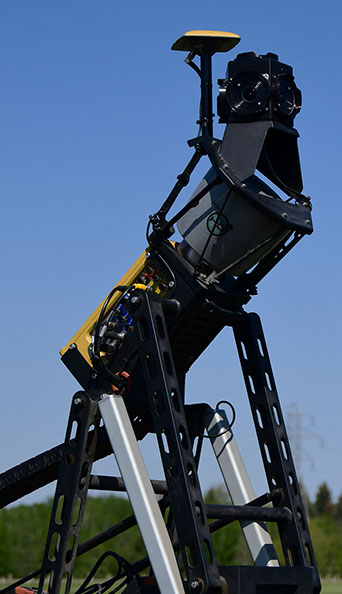
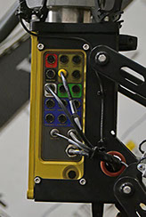
The Honeywell HG 1700 tracks movement
using Ring Laser Gyroscopes (RLGs)
and quartz Resonating Beam Accelerometers (RBAs).
+ Learn More
Dual frequency system tracks up to 20 GPS (Global Positioning System - American) and GLONASS (Global Navigation Satellite System - Russian) satellites.
+ Learn More
Data Collection
HD Imaging and precise LiDAR measurements
LiDAR
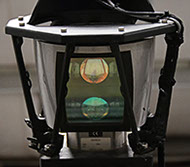
A Velodyne eye safe laser is used to
collect 1.3 million 3D points per second
with an accuracy of less than 3
centimeters at up to 100
meters in all directions.
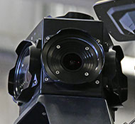
360 Degree Imaging
The Ladybug 360 creates HD
panoramic images that can be used
for Virtural Reality tours or mapped to
the LiDAR point cloud to create
3D models.
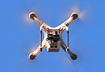
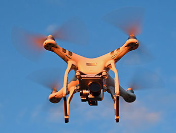
Unmanned Aerial Vehicles (UAVs)
Our UAVs (Drones) are flown by trained operators, registered with Nav Canada for operations in Manitoba, Saskatchewan, and Alberta.
We have a restricted radio operator on staff allowing us to coordinate our operations around air traffic.
All of our aircraft are flown under a Restricted-Complex SFOC (Special Flight Operations Certificate) from Transport Canada, which allows us to operate near airports and within urban areas.
Navigation
Three separate systems to track and record position.
GNSS Satellite Receiver
Tracks up to 32 GPS and GLONASS satellites to precisely record position and altitude.
Compass
Provides directional data and is used to detect and avoid electromagnetic interference.
Inertial Measurement Units
Are used to stabilize the UAV and camera systems as well as provide information about the motion of the UAV.
Data Collection
Multi-spectral imagery and 4K video
Our multi-spectral camera is unfiltered allowing it to capture InfraRed (IR), Visual, and UltraViolet (UV) imagery.
Visual Photogrammetry
Photos can be used to create moderately accurate 3D models.
Well suited for initial surveys and mapping aggressive terrain.
InfraRed (IR)
Infrared imagery can be used to assess plant health, vegetation density, and to search for man made objects including metals, plastics, and composites.
Normalized density maps such as Normalized Density Vegetation Index (NDVI), Burn Area Index (BAI), and Normalized Density Water Index (NDWI) may be performed.
UltaViolet (UV)
Ultraviolet imagery can be used to emphasize scratches and surface damage, differentiate between different materials, detect specific plants, and inspect UV coatings on buildings and windows.
Precision Surveying
Data Collection
Precision Laser and GPS position measurements can be used for surveying and enabling the use of Machine Control Equipment.
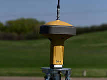
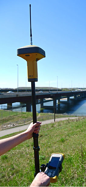
GPS Surveying
Our GPS survey equiptment is able to track over 200 positioning satelites in the GPS, GLONASS, BeiDou, Galileo, and QZSS constellations. Land Based Transmitters are used to provide calibration data to produce data with centimeter accuracy.
Rovers
Batteries are hot swappable, meaning the system can run
continually with centimeter accuracy.
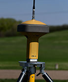
Base Stations
Our Topcon base stations allow us
to operate in areas without land
based Brandt Net reception.
Laser Surveying
Can be used to quickly determine grades for small sites or
indoor/underground areas without GPS reception.
Contact:

XML Site Map
For Search Engines and Browsers
Nothing for Humans to see Here
Contact:

XML Site Map
For Search Engines and Browsers
Nothing for Humans to see Here
